Moyer monument, St Mary's churchyard
Introduction
The photograph on this page of Moyer monument, St Mary's churchyard by Robin Webster as part of the Geograph project.
The Geograph project started in 2005 with the aim of publishing, organising and preserving representative images for every square kilometre of Great Britain, Ireland and the Isle of Man.

There are currently over 7.5m images from over 14,400 individuals and you can help contribute to the project by visiting https://www.geograph.org.uk
Moyer monument, St Mary's churchyard
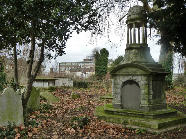
Image: © Robin Webster Taken: 15 Jan 2011
I think this is the grade II listed monument for someone who died in 1757. The listing description fits, except that it is described as octagonal - it seems to be hexagonal.
Images are licensed for reuse under creativecommons.org/licenses/by-sa/2.0
Image Location
Latitude
51.563738
Longitude
-0.015671