Direction sign alongside the A48, Caerwent
Introduction
The photograph on this page of Direction sign alongside the A48, Caerwent by Jaggery as part of the Geograph project.
The Geograph project started in 2005 with the aim of publishing, organising and preserving representative images for every square kilometre of Great Britain, Ireland and the Isle of Man.

There are currently over 7.5m images from over 14,400 individuals and you can help contribute to the project by visiting https://www.geograph.org.uk
Direction sign alongside the A48, Caerwent
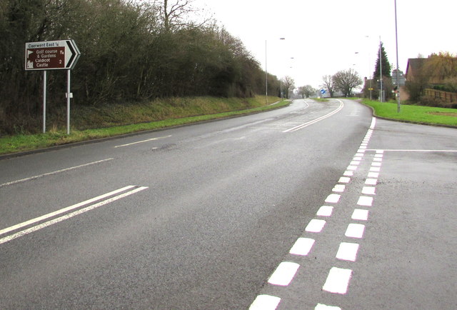
Image: © Jaggery Taken: 24 Jan 2016
Turn right into Roman Road for Caerwent East (¼ mile), golf course (at Dewstow) and gardens (1¼ miles) and Caldicot Castle (2 miles).
Images are licensed for reuse under creativecommons.org/licenses/by-sa/2.0
Image Location
Latitude
51.610338
Longitude
-2.758545