Caerwent boundary sign
Introduction
The photograph on this page of Caerwent boundary sign by Jaggery as part of the Geograph project.
The Geograph project started in 2005 with the aim of publishing, organising and preserving representative images for every square kilometre of Great Britain, Ireland and the Isle of Man.

There are currently over 7.5m images from over 14,400 individuals and you can help contribute to the project by visiting https://www.geograph.org.uk
Caerwent boundary sign
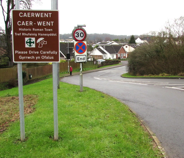
Image: © Jaggery Taken: 24 Jan 2016
Facing the A48 at the eastern end of Roman Road. Caerwent (Caer-went in Welsh) was founded by the Romans in 75 AD as Venta Silurum, a market town for the defeated Silures tribe.
Images are licensed for reuse under creativecommons.org/licenses/by-sa/2.0
Image Location
Latitude
51.610068
Longitude
-2.758541