Clandon Regis Golf Club
Introduction
The photograph on this page of Clandon Regis Golf Club by Colin Smith as part of the Geograph project.
The Geograph project started in 2005 with the aim of publishing, organising and preserving representative images for every square kilometre of Great Britain, Ireland and the Isle of Man.

There are currently over 7.5m images from over 14,400 individuals and you can help contribute to the project by visiting https://www.geograph.org.uk
Clandon Regis Golf Club
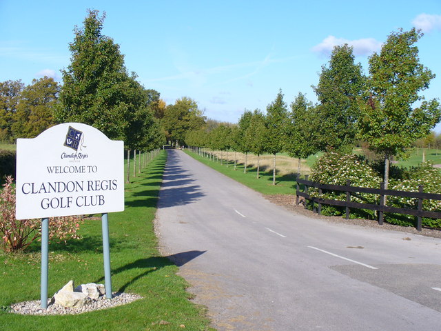
Image: © Colin Smith Taken: 30 Oct 2007
The driveway leading into this exclusive club in West Clandon, seen from the Epsom Road. Clandon Regis was a former name for West Clandon village (it was also called King's Clandon). East Clandon used to be called Clandon Abbots.
Images are licensed for reuse under creativecommons.org/licenses/by-sa/2.0
Image Location


Leaflet Map data © OpenStreetMap
Latitude
51.251657
Longitude
-0.496432