Upper Weadale around Wearhead (2a)
Introduction
The photograph on this page of Upper Weadale around Wearhead (2a) by Mike Quinn as part of the Geograph project.
The Geograph project started in 2005 with the aim of publishing, organising and preserving representative images for every square kilometre of Great Britain, Ireland and the Isle of Man.

There are currently over 7.5m images from over 14,400 individuals and you can help contribute to the project by visiting https://www.geograph.org.uk
Upper Weadale around Wearhead (2a)
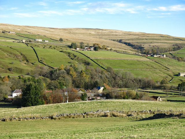
Image: © Mike Quinn Taken: 2 Nov 2018
This is the view looking northeast from Image across the valley towards the gouge out of the hillside below the buildings at Bail Hill that marks the Weardale Vein.
Images are licensed for reuse under creativecommons.org/licenses/by-sa/2.0
Image Location
Latitude
54.748004
Longitude
-2.221187