Brigham Row
Introduction
The photograph on this page of Brigham Row by Ian Capper as part of the Geograph project.
The Geograph project started in 2005 with the aim of publishing, organising and preserving representative images for every square kilometre of Great Britain, Ireland and the Isle of Man.

There are currently over 7.5m images from over 14,400 individuals and you can help contribute to the project by visiting https://www.geograph.org.uk
Brigham Row
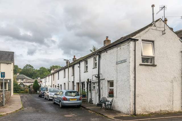
Image: © Ian Capper Taken: 24 Sep 2018
19th Century terrace off Penrith Road, shown on the 1867 6 inch map simply as The Row.
Images are licensed for reuse under creativecommons.org/licenses/by-sa/2.0
Image Location
Latitude
54.604391
Longitude
-3.123457