Loch Lomond from the air
Introduction
The photograph on this page of Loch Lomond from the air by Thomas Nugent as part of the Geograph project.
The Geograph project started in 2005 with the aim of publishing, organising and preserving representative images for every square kilometre of Great Britain, Ireland and the Isle of Man.

There are currently over 7.5m images from over 14,400 individuals and you can help contribute to the project by visiting https://www.geograph.org.uk
Loch Lomond from the air
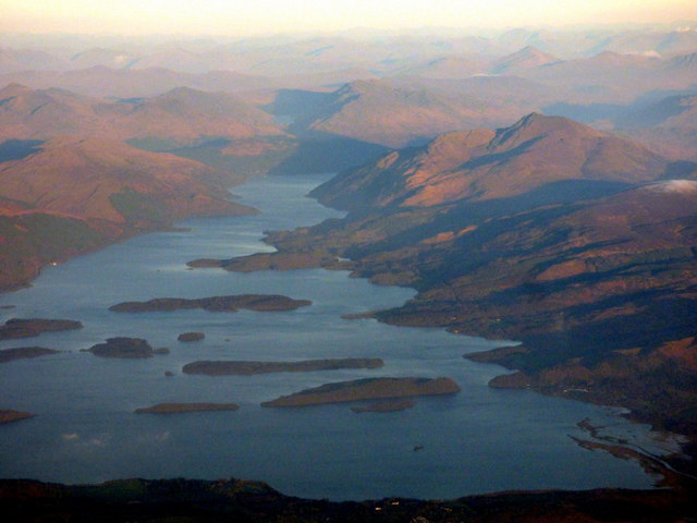
Image: © Thomas Nugent Taken: 18 Nov 2018
The River Endrick (or Endrick Water) can be seen in the lower right corner. Ben Lomond can be seen on the right bank of the loch with numerous peaks beyond.
Images are licensed for reuse under creativecommons.org/licenses/by-sa/2.0
Image Location
Latitude
56.05436
Longitude
-4.530708