Bowling Green Street, Kennington Park Estate, Kennington, south London
Introduction
The photograph on this page of Bowling Green Street, Kennington Park Estate, Kennington, south London by Robin Stott as part of the Geograph project.
The Geograph project started in 2005 with the aim of publishing, organising and preserving representative images for every square kilometre of Great Britain, Ireland and the Isle of Man.

There are currently over 7.5m images from over 14,400 individuals and you can help contribute to the project by visiting https://www.geograph.org.uk
Bowling Green Street, Kennington Park Estate, Kennington, south London
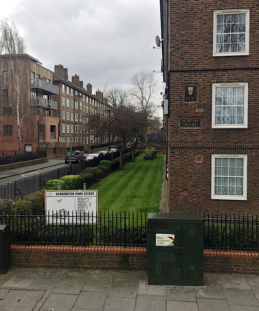
Image: © Robin Stott Taken: 25 Mar 2018
Hornby House, on the right, built by the London County Council, was shown in outline on a map of 1938 and built by 1952. Kennington Oval is at the end of the street. The view is from a No 3 bus.
Images are licensed for reuse under creativecommons.org/licenses/by-sa/2.0
Image Location
Latitude
51.484388
Longitude
-0.111585