
Lower end of Stambourne Woods, Upper Norwood, south London
Introduction
The photograph on this page of Lower end of Stambourne Woods, Upper Norwood, south London by Robin Stott as part of the Geograph project.
The Geograph project started in 2005 with the aim of publishing, organising and preserving representative images for every square kilometre of Great Britain, Ireland and the Isle of Man.

There are currently over 7.5m images from over 14,400 individuals and you can help contribute to the project by visiting https://www.geograph.org.uk
Lower end of Stambourne Woods, Upper Norwood, south London
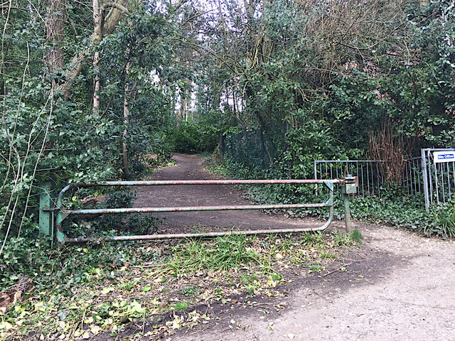
Image: © Robin Stott Taken: 23 Mar 2018
Stambourne Woods is a swathe of unnatural woodland that drops down from Church Road. My impression was of evergreens – holly, Victorian conifers, and Cherry Laurel scrub. The Friends of Stambourne Woods carry out conservation work and organise community events: www.facebook.com/StambourneWoods The foreground appears to be a private drive shared with the footpath out to Auckland Road behind the camera. Interesting gate!
Images are licensed for reuse under creativecommons.org/licenses/by-sa/2.0
Image Location

Latitude
51.41299
Longitude
-0.078577