Ruined barn and houses at Harrington Parks beside former mineral railway trackbed
Introduction
The photograph on this page of Ruined barn and houses at Harrington Parks beside former mineral railway trackbed by Roger Templeman as part of the Geograph project.
The Geograph project started in 2005 with the aim of publishing, organising and preserving representative images for every square kilometre of Great Britain, Ireland and the Isle of Man.

There are currently over 7.5m images from over 14,400 individuals and you can help contribute to the project by visiting https://www.geograph.org.uk
Ruined barn and houses at Harrington Parks beside former mineral railway trackbed
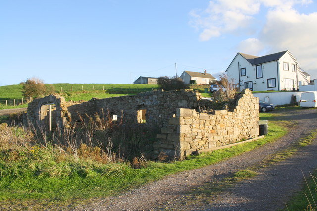
Image: © Roger Templeman Taken: 18 Oct 2018
Images are licensed for reuse under creativecommons.org/licenses/by-sa/2.0
Image Location
Latitude
54.606865
Longitude
-3.566422