Public footpath, Nightingale Wood
Introduction
The photograph on this page of Public footpath, Nightingale Wood by Vieve Forward as part of the Geograph project.
The Geograph project started in 2005 with the aim of publishing, organising and preserving representative images for every square kilometre of Great Britain, Ireland and the Isle of Man.

There are currently over 7.5m images from over 14,400 individuals and you can help contribute to the project by visiting https://www.geograph.org.uk
Public footpath, Nightingale Wood
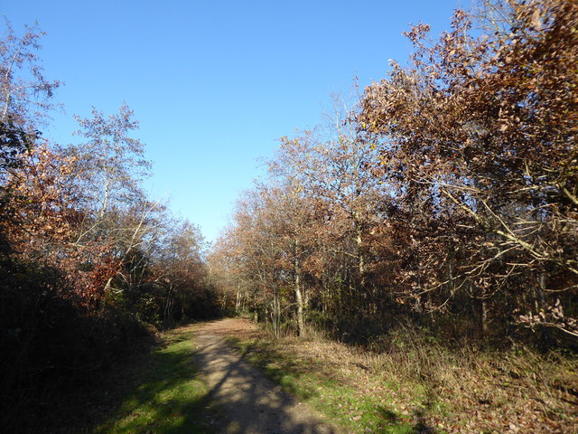
Image: © Vieve Forward Taken: 18 Nov 2018
The public footpath was re-routed in around 2013 which made it hard for me to find, my map being dated 2009.
Images are licensed for reuse under creativecommons.org/licenses/by-sa/2.0
Image Location


Leaflet Map data © OpenStreetMap
Latitude
51.595601
Longitude
-1.702995