House next to A472, Pontllanfraith
Introduction
The photograph on this page of House next to A472, Pontllanfraith by M J Roscoe as part of the Geograph project.
The Geograph project started in 2005 with the aim of publishing, organising and preserving representative images for every square kilometre of Great Britain, Ireland and the Isle of Man.

There are currently over 7.5m images from over 14,400 individuals and you can help contribute to the project by visiting https://www.geograph.org.uk
House next to A472, Pontllanfraith
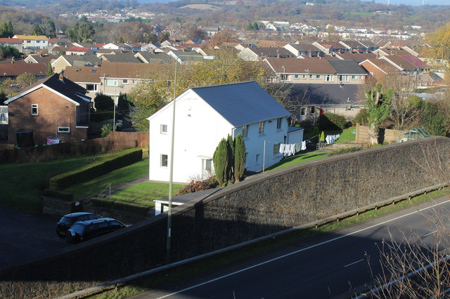
Image: © M J Roscoe Taken: 17 Nov 2018
Pontllanfraith viewed from a road bridge (shadow at bottom of picture) over the A472 dual carriageway.
Images are licensed for reuse under creativecommons.org/licenses/by-sa/2.0
Image Location
Latitude
51.649894
Longitude
-3.183289