The Celandine Route in Pinner
Introduction
The photograph on this page of The Celandine Route in Pinner by Des Blenkinsopp as part of the Geograph project.
The Geograph project started in 2005 with the aim of publishing, organising and preserving representative images for every square kilometre of Great Britain, Ireland and the Isle of Man.

There are currently over 7.5m images from over 14,400 individuals and you can help contribute to the project by visiting https://www.geograph.org.uk
The Celandine Route in Pinner
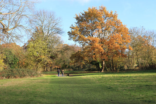
Image: © Des Blenkinsopp Taken: 13 Nov 2018
The Celandine Route follows the River Pinn between Pinner and Uxbridge. This section is particularly pleasant with the river in a corridor of woodland winding in between the houses.
Images are licensed for reuse under creativecommons.org/licenses/by-sa/2.0
Image Location
Latitude
51.589722
Longitude
-0.397962