The rooftops of Aberystwyth
Introduction
The photograph on this page of The rooftops of Aberystwyth by John Lucas as part of the Geograph project.
The Geograph project started in 2005 with the aim of publishing, organising and preserving representative images for every square kilometre of Great Britain, Ireland and the Isle of Man.

There are currently over 7.5m images from over 14,400 individuals and you can help contribute to the project by visiting https://www.geograph.org.uk
The rooftops of Aberystwyth
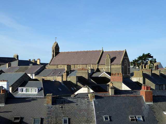
Image: © John Lucas Taken: 13 Nov 2018
With Eglwys y Santes Fair (Welsh Anglican) being prominent. Viewed from the new Tesco/Marks & Spencer multi-storey car park.
Images are licensed for reuse under creativecommons.org/licenses/by-sa/2.0
Image Location
Latitude
52.413273
Longitude
-4.084798