Andr?e Peel Park
Introduction
The photograph on this page of Andr?e Peel Park by Neil Owen as part of the Geograph project.
The Geograph project started in 2005 with the aim of publishing, organising and preserving representative images for every square kilometre of Great Britain, Ireland and the Isle of Man.

There are currently over 7.5m images from over 14,400 individuals and you can help contribute to the project by visiting https://www.geograph.org.uk
Andr?e Peel Park
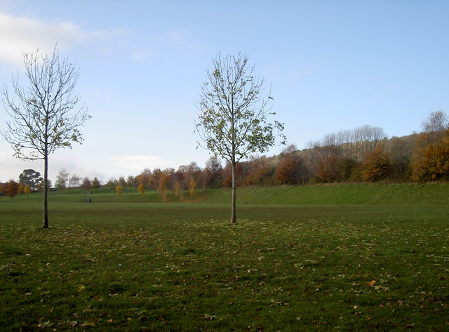
Image: © Neil Owen Taken: 15 Nov 2018
This landscaped part of the hillside above Long Ashton is named Andrée Peel Park, in honour of a remarkable woman. Originally land operated in 2003 by the now-defunct Long Ashton Research Station, it was part of a development of the village; the developers created this open space for all and handed control to the parish council in 2013. They named it after Andrée Peel (née Virot) 1905-2010, who lived in the village after marrying an academic and making a reputation for her pain-relieving massages. Previous to that, Andrée was a French Resistance member during WWII, known to British Intelligence as Agent Rose. After serving the Resistance she was betrayed in 1944 and sent to Ravensbrück concentration camp. Later she was moved to Büchenvald, where she managed to cheat death three times.
Images are licensed for reuse under creativecommons.org/licenses/by-sa/2.0
Image Location
Latitude
51.430238
Longitude
-2.669539