Furzebrook Road Wareham Dorset
Introduction
The photograph on this page of Furzebrook Road Wareham Dorset by Peter Elsdon as part of the Geograph project.
The Geograph project started in 2005 with the aim of publishing, organising and preserving representative images for every square kilometre of Great Britain, Ireland and the Isle of Man.

There are currently over 7.5m images from over 14,400 individuals and you can help contribute to the project by visiting https://www.geograph.org.uk
Furzebrook Road Wareham Dorset
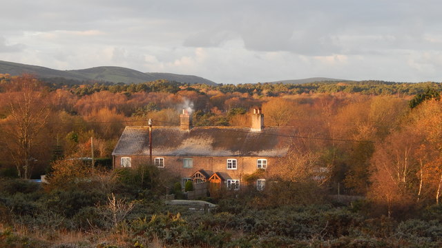
Image: © Peter Elsdon Taken: 30 Nov 2017
Dwellings alongside Furzebrook Road which runs across Stoborough Heath from Stoborough towards East Creech.
Images are licensed for reuse under creativecommons.org/licenses/by-sa/2.0
Image Location
Latitude
50.662828
Longitude
-2.101392