Moor and forest at Artfield
Introduction
The photograph on this page of Moor and forest at Artfield by David Purchase as part of the Geograph project.
The Geograph project started in 2005 with the aim of publishing, organising and preserving representative images for every square kilometre of Great Britain, Ireland and the Isle of Man.

There are currently over 7.5m images from over 14,400 individuals and you can help contribute to the project by visiting https://www.geograph.org.uk
Moor and forest at Artfield
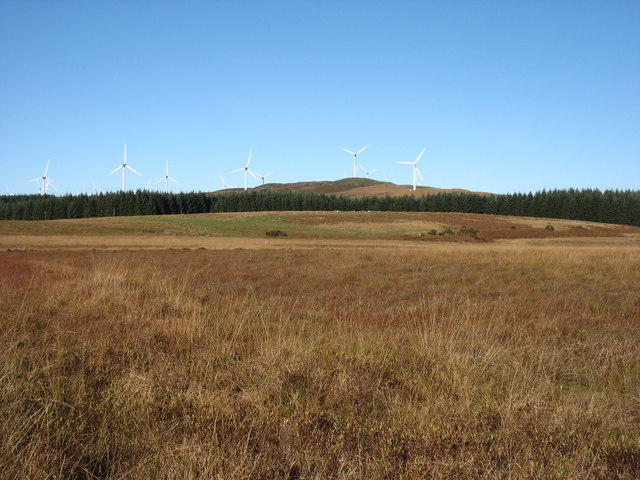
Image: © David Purchase Taken: 28 Oct 2018
Looking towards Green Top, 244m, on Artfield Fell. Wind farms have sprouted like mushrooms in this part of Galloway.
Images are licensed for reuse under creativecommons.org/licenses/by-sa/2.0
Image Location
Latitude
54.952614
Longitude
-4.754766