Rochdale: Fleece Street
Introduction
The photograph on this page of Rochdale: Fleece Street by Dr Neil Clifton as part of the Geograph project.
The Geograph project started in 2005 with the aim of publishing, organising and preserving representative images for every square kilometre of Great Britain, Ireland and the Isle of Man.

There are currently over 7.5m images from over 14,400 individuals and you can help contribute to the project by visiting https://www.geograph.org.uk
Rochdale: Fleece Street
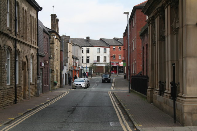
Image: © Dr Neil Clifton Taken: 19 Oct 2018
Looking east. The lower entrance to the Boys' High School (now demolished) was on the right,
Images are licensed for reuse under creativecommons.org/licenses/by-sa/2.0
Image Location
Latitude
53.616413
Longitude
-2.156872