Inverness Broad Stone
Introduction
The photograph on this page of Inverness Broad Stone by valenta as part of the Geograph project.
The Geograph project started in 2005 with the aim of publishing, organising and preserving representative images for every square kilometre of Great Britain, Ireland and the Isle of Man.

There are currently over 7.5m images from over 14,400 individuals and you can help contribute to the project by visiting https://www.geograph.org.uk
Inverness Broad Stone
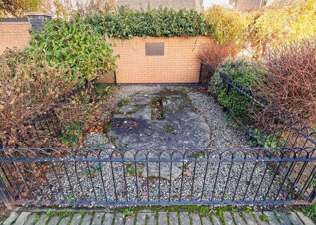
Image: © valenta Taken: 8 Nov 2018
Located on Kingsmills Road the Broad Stone dates from before the 15th Century. the hole was thought to have supported a pillar or stone cross
Images are licensed for reuse under creativecommons.org/licenses/by-sa/2.0
Image Location
Latitude
57.475052
Longitude
-4.214695