Afon Way
Introduction
The photograph on this page of Afon Way by Penny Mayes as part of the Geograph project.
The Geograph project started in 2005 with the aim of publishing, organising and preserving representative images for every square kilometre of Great Britain, Ireland and the Isle of Man.

There are currently over 7.5m images from over 14,400 individuals and you can help contribute to the project by visiting https://www.geograph.org.uk
Afon Way
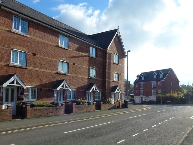
Image: © Penny Mayes Taken: 29 Oct 2018
Viewed from Lower Canal Road. Afon Way is a social housing development subject to a local needs occupancy restriction and consists of apartments and terraced houses.
Images are licensed for reuse under creativecommons.org/licenses/by-sa/2.0
Image Location
Latitude
52.517128
Longitude
-3.306819