Houses, Baltic Wharf development, Totnes
Introduction
The photograph on this page of Houses, Baltic Wharf development, Totnes by Derek Harper as part of the Geograph project.
The Geograph project started in 2005 with the aim of publishing, organising and preserving representative images for every square kilometre of Great Britain, Ireland and the Isle of Man.

There are currently over 7.5m images from over 14,400 individuals and you can help contribute to the project by visiting https://www.geograph.org.uk
Houses, Baltic Wharf development, Totnes
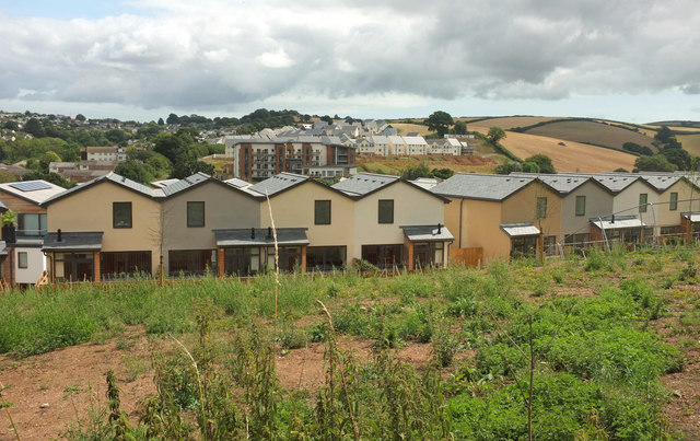
Image: © Derek Harper Taken: 1 Aug 2018
Further south than Image] with houses on Baltic Way, again seen from the Dart Valley Trail. Across the Dart are the fkats at Quayside; behind on the hillside is new housing on Home Reach Avenue and associated cul-de-sacs.
Images are licensed for reuse under creativecommons.org/licenses/by-sa/2.0
Image Location
Latitude
50.425793
Longitude
-3.68228