Offa's Dyke Path above Tintern Quarry
Introduction
The photograph on this page of Offa's Dyke Path above Tintern Quarry by Bill Boaden as part of the Geograph project.
The Geograph project started in 2005 with the aim of publishing, organising and preserving representative images for every square kilometre of Great Britain, Ireland and the Isle of Man.

There are currently over 7.5m images from over 14,400 individuals and you can help contribute to the project by visiting https://www.geograph.org.uk
Offa's Dyke Path above Tintern Quarry
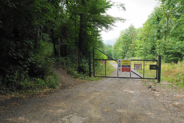
Image: © Bill Boaden Taken: 3 Aug 2018
Offa's Dyke Path emerges from the woodland to the left and continues off right. The actual dyke is slightly lower down the hillside in the quarry grounds. However it is quite possible to get onto the quarry track lower down the valley without without encountering any of these restrictive signs.
Images are licensed for reuse under creativecommons.org/licenses/by-sa/2.0
Image Location
Latitude
51.682381
Longitude
-2.649821