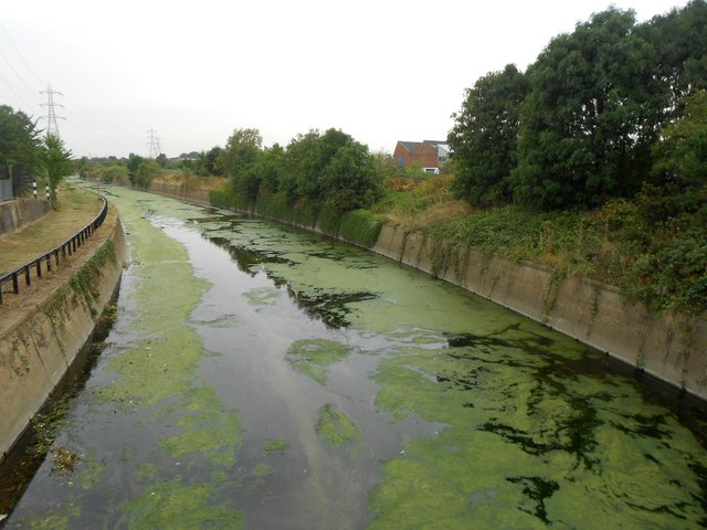
River Lee Flood Relief Channel
Introduction
The photograph on this page of River Lee Flood Relief Channel by Nigel Cox as part of the Geograph project.
The Geograph project started in 2005 with the aim of publishing, organising and preserving representative images for every square kilometre of Great Britain, Ireland and the Isle of Man.
There are currently over 7.5m images from over 14,400 individuals and you can help contribute to the project by visiting https://www.geograph.org.uk

Image: © Nigel Cox Taken: 25 Aug 2016
Construction work on the channel commenced in 1947 after serious flooding in the Lee Valley. Here it is a concrete conduit maybe about 17 or 18 metres wide. This is the view from the bridge that carries the public footpath linking Argall Way with Leyton and Walthamstow Marshes over the channel.

