Lakers Rise
Introduction
The photograph on this page of Lakers Rise by Ian Capper as part of the Geograph project.
The Geograph project started in 2005 with the aim of publishing, organising and preserving representative images for every square kilometre of Great Britain, Ireland and the Isle of Man.

There are currently over 7.5m images from over 14,400 individuals and you can help contribute to the project by visiting https://www.geograph.org.uk
Lakers Rise
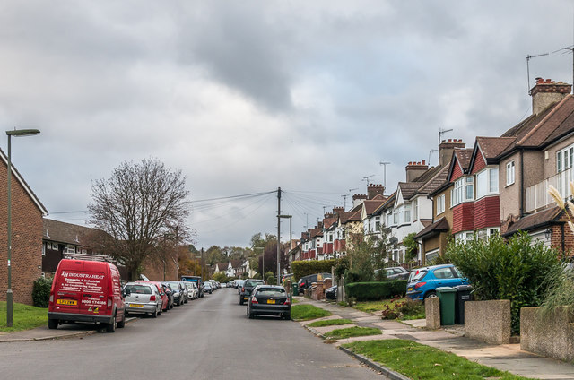
Image: © Ian Capper Taken: 27 Oct 2018
Cul-de-sac off Chipstead Way, absent from the 1935 1:2,500 map but marked in outline on the 1938 1:10,560 map. The right hand side saw the initial development, the left hand side being built up much later.
Images are licensed for reuse under creativecommons.org/licenses/by-sa/2.0
Image Location
Latitude
51.317826
Longitude
-0.172291