Path past the eastern edge of a cricket field, Pontymister
Introduction
The photograph on this page of Path past the eastern edge of a cricket field, Pontymister by Jaggery as part of the Geograph project.
The Geograph project started in 2005 with the aim of publishing, organising and preserving representative images for every square kilometre of Great Britain, Ireland and the Isle of Man.

There are currently over 7.5m images from over 14,400 individuals and you can help contribute to the project by visiting https://www.geograph.org.uk
Path past the eastern edge of a cricket field, Pontymister
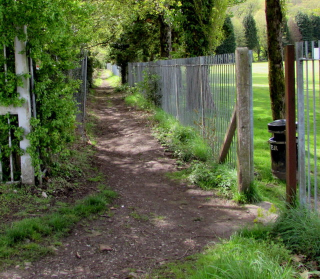
Image: © Jaggery Taken: 30 Apr 2018
From Newport Road, the path leads to the north bank of the Ebbw River. The gap in the fence near a litter bin is an entrance to Pontymister Cricket Club's cricket field. https://www.geograph.org.uk/photo/5968681
Images are licensed for reuse under creativecommons.org/licenses/by-sa/2.0
Image Location
Latitude
51.601105
Longitude
-3.08658