Hill House, Ousden
Introduction
The photograph on this page of Hill House, Ousden by Keith Edkins as part of the Geograph project.
The Geograph project started in 2005 with the aim of publishing, organising and preserving representative images for every square kilometre of Great Britain, Ireland and the Isle of Man.

There are currently over 7.5m images from over 14,400 individuals and you can help contribute to the project by visiting https://www.geograph.org.uk
Hill House, Ousden
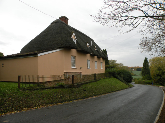
Image: © Keith Edkins Taken: 6 Nov 2018
C18 timber-framed and plastered house on an L shaped plan. Grade II listed (listed as "East Side and West Side" - there's a story there somewhere)
Images are licensed for reuse under creativecommons.org/licenses/by-sa/2.0
Image Location
Latitude
52.207381
Longitude
0.546976