Woodstock Road
Introduction
The photograph on this page of Woodstock Road by Ian Capper as part of the Geograph project.
The Geograph project started in 2005 with the aim of publishing, organising and preserving representative images for every square kilometre of Great Britain, Ireland and the Isle of Man.

There are currently over 7.5m images from over 14,400 individuals and you can help contribute to the project by visiting https://www.geograph.org.uk
Woodstock Road
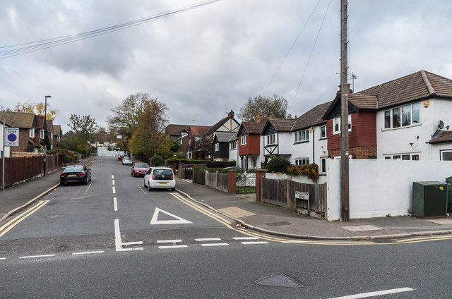
Image: © Ian Capper Taken: 27 Oct 2018
Cul-de-sac off Chipstead Valley Road, leading up to Woodmansterne Station (which despite the name is actually in Coulsdon). The 1912-3 1:2,500 map shows the road with just one house (Wood View, the gable of which can be seen to the left of the tree towards the right of this photo), with full development shown on the 1935 1:2,500 map.
Images are licensed for reuse under creativecommons.org/licenses/by-sa/2.0
Image Location


Leaflet Map data © OpenStreetMap
Latitude
51.318296
Longitude
-0.154105