Bridleway west of Iverley in Staffordshire
Introduction
The photograph on this page of Bridleway west of Iverley in Staffordshire by Roger Kidd as part of the Geograph project.
The Geograph project started in 2005 with the aim of publishing, organising and preserving representative images for every square kilometre of Great Britain, Ireland and the Isle of Man.

There are currently over 7.5m images from over 14,400 individuals and you can help contribute to the project by visiting https://www.geograph.org.uk
Bridleway west of Iverley in Staffordshire
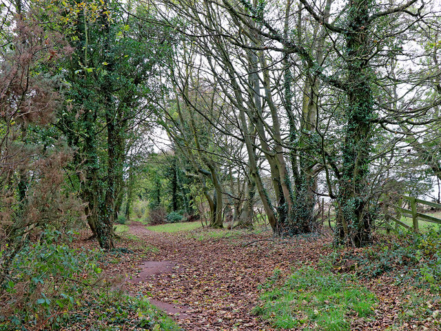
Image: © Roger Kidd Taken: 31 Oct 2018
Leading westwards here, the North Worcestershire Path passes along a bridleway more like a green lane between fields. The bridleway leads to Beechtree Lane, but the footpath continues through the woodland area by the Fairy Glen, across fields towards Caunsall and Kinver. https://en.wikipedia.org/wiki/North_Worcestershire_Path
Images are licensed for reuse under creativecommons.org/licenses/by-sa/2.0
Image Location
Latitude
52.427994
Longitude
-2.193791