26 and 28 Millgate
Introduction
The photograph on this page of 26 and 28 Millgate by Jonathan Thacker as part of the Geograph project.
The Geograph project started in 2005 with the aim of publishing, organising and preserving representative images for every square kilometre of Great Britain, Ireland and the Isle of Man.

There are currently over 7.5m images from over 14,400 individuals and you can help contribute to the project by visiting https://www.geograph.org.uk
26 and 28 Millgate
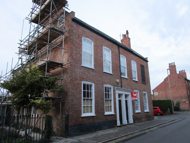
Image: © Jonathan Thacker Taken: 5 Nov 2018
Millgate which retains the line of the Roman Fosse Way through Newark was an early suburb of the town, Sadly several notable buildings were demolished during the 1950s and 60s but many still remain. These houses date from the late eighteenth century https://historicengland.org.uk/listing/the-list/list-entry/1231385
Images are licensed for reuse under creativecommons.org/licenses/by-sa/2.0
Image Location
Latitude
53.074816
Longitude
-0.81599