Track on Farmland, near Wantz Corner, West Hanningfield
Introduction
The photograph on this page of Track on Farmland, near Wantz Corner, West Hanningfield by Roger Jones as part of the Geograph project.
The Geograph project started in 2005 with the aim of publishing, organising and preserving representative images for every square kilometre of Great Britain, Ireland and the Isle of Man.

There are currently over 7.5m images from over 14,400 individuals and you can help contribute to the project by visiting https://www.geograph.org.uk
Track on Farmland, near Wantz Corner, West Hanningfield
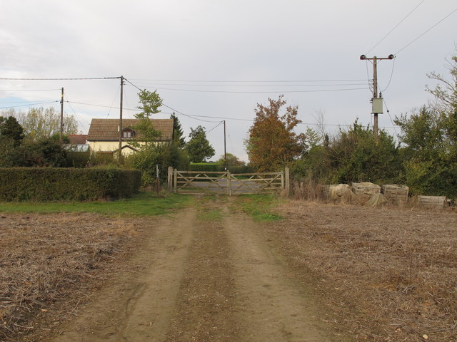
Image: © Roger Jones Taken: 4 Nov 2018
Public footpath on map seems to partly be on this track.
Images are licensed for reuse under creativecommons.org/licenses/by-sa/2.0
Image Location
Latitude
51.673097
Longitude
0.488966