Rayners Lane: Alexandra Avenue flats
Introduction
The photograph on this page of Rayners Lane: Alexandra Avenue flats by Nigel Cox as part of the Geograph project.
The Geograph project started in 2005 with the aim of publishing, organising and preserving representative images for every square kilometre of Great Britain, Ireland and the Isle of Man.

There are currently over 7.5m images from over 14,400 individuals and you can help contribute to the project by visiting https://www.geograph.org.uk
Rayners Lane: Alexandra Avenue flats
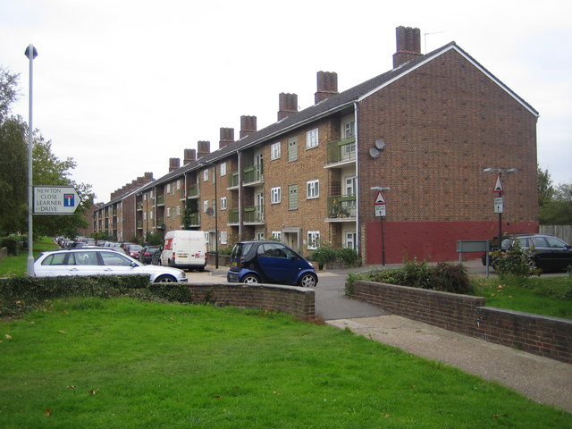
Image: © Nigel Cox Taken: 24 Oct 2007
This is one of several blocks of 1950s council-owned flats set back on the eastern side of Alexandra Avenue. The road name plate with the "No through road" symbol shows the way to Learner Drive, so-named as the houses along it were built on the site of the former Harrow Driving Centre.
Images are licensed for reuse under creativecommons.org/licenses/by-sa/2.0
Image Location
Latitude
51.56784
Longitude
-0.369585