Fishery Road, Bray
Introduction
The photograph on this page of Fishery Road, Bray by Des Blenkinsopp as part of the Geograph project.
The Geograph project started in 2005 with the aim of publishing, organising and preserving representative images for every square kilometre of Great Britain, Ireland and the Isle of Man.

There are currently over 7.5m images from over 14,400 individuals and you can help contribute to the project by visiting https://www.geograph.org.uk
Fishery Road, Bray
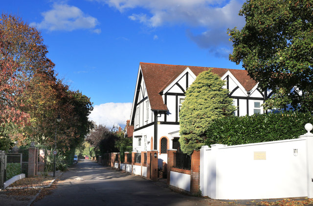
Image: © Des Blenkinsopp Taken: 29 Oct 2018
A quiet road with riverside houses along the east side. No through way for walkers at the top end, so if you go beyond here you have to turn round again. No river access either.
Images are licensed for reuse under creativecommons.org/licenses/by-sa/2.0
Image Location
Latitude
51.515986
Longitude
-0.70364