The Bog Road approaching its junction with Church Road. Forkhill
Introduction
The photograph on this page of The Bog Road approaching its junction with Church Road. Forkhill by Eric Jones as part of the Geograph project.
The Geograph project started in 2005 with the aim of publishing, organising and preserving representative images for every square kilometre of Great Britain, Ireland and the Isle of Man.

There are currently over 7.5m images from over 14,400 individuals and you can help contribute to the project by visiting https://www.geograph.org.uk
The Bog Road approaching its junction with Church Road. Forkhill
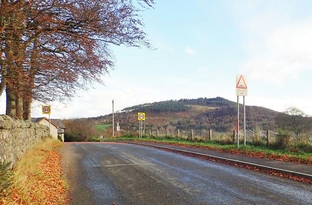
Image: © Eric Jones Taken: 29 Oct 2018
The mountain in the background is Tievecom, formerly the site of British Army Watchtower Romeo 23. The link is to the view of Forkhill from Romeo 23 captured by a Magnumphotos photographer and published in the Guardian. It shows, on the right hand side, the Bog Road/Church Road junction. https://www.theguardian.com/uk-news/2017/apr/15/brexit-northern-irish-border#img-10
Images are licensed for reuse under creativecommons.org/licenses/by-sa/2.0
Image Location
Latitude
54.084856
Longitude
-6.454035