Brimington : Chesterfield Canal - Hollingwood Lock
Introduction
The photograph on this page of Brimington : Chesterfield Canal - Hollingwood Lock by Lewis Clarke as part of the Geograph project.
The Geograph project started in 2005 with the aim of publishing, organising and preserving representative images for every square kilometre of Great Britain, Ireland and the Isle of Man.

There are currently over 7.5m images from over 14,400 individuals and you can help contribute to the project by visiting https://www.geograph.org.uk
Brimington : Chesterfield Canal - Hollingwood Lock
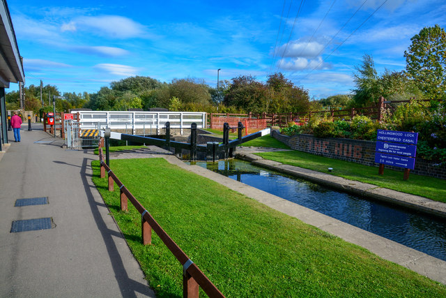
Image: © Lewis Clarke Taken: 2 Oct 2018
Hollingwood and Barrow Hill were built in c.1900 when the Staveley Coal and Iron Company formed and built homes there for the workers.
Images are licensed for reuse under creativecommons.org/licenses/by-sa/2.0
Image Location


Leaflet Map data © OpenStreetMap
Latitude
53.266862
Longitude
-1.378197