Pipin Crescent
Introduction
The photograph on this page of Pipin Crescent by John Baker as part of the Geograph project.
The Geograph project started in 2005 with the aim of publishing, organising and preserving representative images for every square kilometre of Great Britain, Ireland and the Isle of Man.

There are currently over 7.5m images from over 14,400 individuals and you can help contribute to the project by visiting https://www.geograph.org.uk
Pipin Crescent
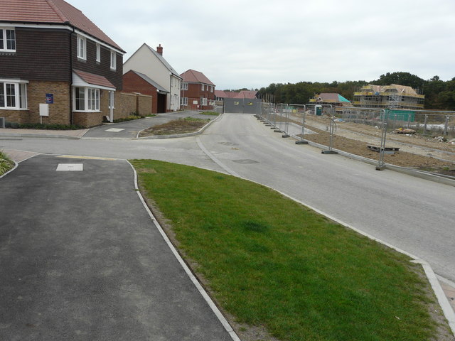
Image: © John Baker Taken: 14 Oct 2018
A road on the Finberry housing estate, where houses will probably be built along the right hand side. The white-painted house is also visible in this view of Image
Images are licensed for reuse under creativecommons.org/licenses/by-sa/2.0
Image Location
Latitude
51.117199
Longitude
0.891813