Wiltshire Gardens
Introduction
The photograph on this page of Wiltshire Gardens by John Baker as part of the Geograph project.
The Geograph project started in 2005 with the aim of publishing, organising and preserving representative images for every square kilometre of Great Britain, Ireland and the Isle of Man.

There are currently over 7.5m images from over 14,400 individuals and you can help contribute to the project by visiting https://www.geograph.org.uk
Wiltshire Gardens
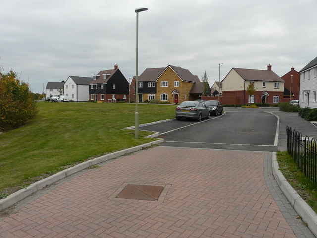
Image: © John Baker Taken: 14 Oct 2018
This image of Image shows the road before two road signs were installed to indicate where Wiltshire Gardens become Ryeland Way. Their location is in front of the house with red brickwork and black weatherboarding above. The road is part of the Bridgefield housing estate.
Images are licensed for reuse under creativecommons.org/licenses/by-sa/2.0
Image Location
Latitude
51.116658
Longitude
0.880919