Trees lining Morganston Burn
Introduction
The photograph on this page of Trees lining Morganston Burn by Trevor Littlewood as part of the Geograph project.
The Geograph project started in 2005 with the aim of publishing, organising and preserving representative images for every square kilometre of Great Britain, Ireland and the Isle of Man.

There are currently over 7.5m images from over 14,400 individuals and you can help contribute to the project by visiting https://www.geograph.org.uk
Trees lining Morganston Burn
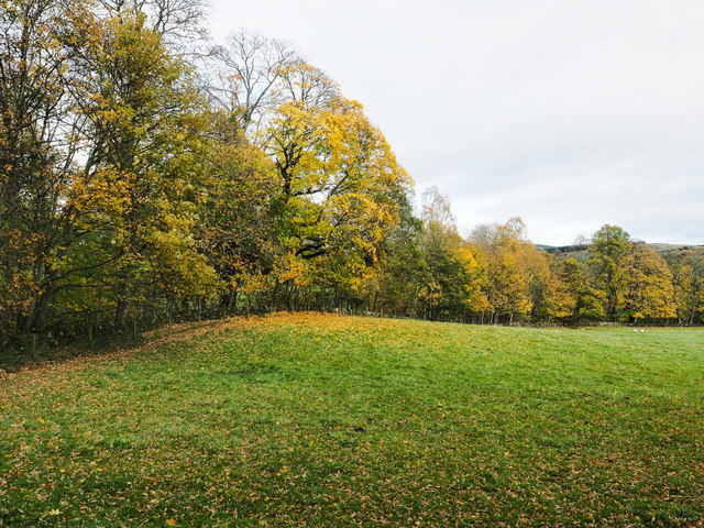
Image: © Trevor Littlewood Taken: 23 Oct 2018
The burn, obviously enough, is on the far side of the trees which also line the field on the north-east side of the A93.
Images are licensed for reuse under creativecommons.org/licenses/by-sa/2.0
Image Location
Latitude
56.629818
Longitude
-3.359082