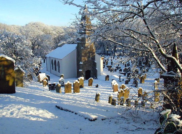
St. Peter's Church, Camerton
Introduction
The photograph on this page of St. Peter's Church, Camerton by Ed Messenger as part of the Geograph project.
The Geograph project started in 2005 with the aim of publishing, organising and preserving representative images for every square kilometre of Great Britain, Ireland and the Isle of Man.
There are currently over 7.5m images from over 14,400 individuals and you can help contribute to the project by visiting https://www.geograph.org.uk

Image: © Ed Messenger Taken: 29 Dec 2000
St. Peter's is situated on a bend of the River Derwent 0.5 miles south of the village of Camerton. There has been a church on this site since the 11th century but it was rebuilt in 1694 and 1796. The church contains a stone tomb and effigy dated 1510 of Sir Thomas Curwen, "Black Tom of the North", who is buried at Shap Abbey. The churchyard was severely damaged by the flood of November 2009 which also destroyed a bridge over an old railway cutting which carried the route to the church. The church had to be closed until the cutting was filled in about 19 months later.

