Housing Area at Leominster
Introduction
The photograph on this page of Housing Area at Leominster by Fabian Musto as part of the Geograph project.
The Geograph project started in 2005 with the aim of publishing, organising and preserving representative images for every square kilometre of Great Britain, Ireland and the Isle of Man.

There are currently over 7.5m images from over 14,400 individuals and you can help contribute to the project by visiting https://www.geograph.org.uk
Housing Area at Leominster
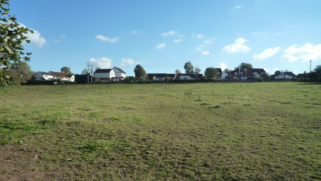
Image: © Fabian Musto Taken: 29 Oct 2018
This housing area at Leominster faces a farm field that has Shetland ponies in it.
Images are licensed for reuse under creativecommons.org/licenses/by-sa/2.0
Image Location


Leaflet Map data © OpenStreetMap
Latitude
52.229612
Longitude
-2.748561