Drain by the A303, West Bourton
Introduction
The photograph on this page of Drain by the A303, West Bourton by David Howard as part of the Geograph project.
The Geograph project started in 2005 with the aim of publishing, organising and preserving representative images for every square kilometre of Great Britain, Ireland and the Isle of Man.

There are currently over 7.5m images from over 14,400 individuals and you can help contribute to the project by visiting https://www.geograph.org.uk
Drain by the A303, West Bourton
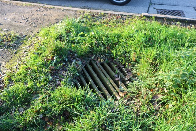
Image: © David Howard Taken: 20 Oct 2018
This is not a normal rain catcher on the kerb (like the one next to it) but the sort which normally supplies an underground stream.
Images are licensed for reuse under creativecommons.org/licenses/by-sa/2.0
Image Location
Latitude
51.064324
Longitude
-2.374551