The London LOOP south of Iver Lane
Introduction
The photograph on this page of The London LOOP south of Iver Lane by Marathon as part of the Geograph project.
The Geograph project started in 2005 with the aim of publishing, organising and preserving representative images for every square kilometre of Great Britain, Ireland and the Isle of Man.

There are currently over 7.5m images from over 14,400 individuals and you can help contribute to the project by visiting https://www.geograph.org.uk
The London LOOP south of Iver Lane
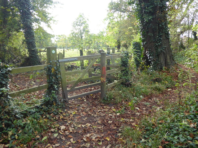
Image: © Marathon Taken: 24 Oct 2018
The London LOOP comes up from West Drayton station and then follows the River Colne before rejoining the Grand Union Canal at Uxbridge. This is looking back along the route just before Iver Lane is reached. The River Colne is just to the left.
Images are licensed for reuse under creativecommons.org/licenses/by-sa/2.0
Image Location
Latitude
51.527997
Longitude
-0.489942