Holland-on-Sea: Footpath to Smythie's Farm
Introduction
The photograph on this page of Holland-on-Sea: Footpath to Smythie's Farm by Nigel Cox as part of the Geograph project.
The Geograph project started in 2005 with the aim of publishing, organising and preserving representative images for every square kilometre of Great Britain, Ireland and the Isle of Man.

There are currently over 7.5m images from over 14,400 individuals and you can help contribute to the project by visiting https://www.geograph.org.uk
Holland-on-Sea: Footpath to Smythie's Farm
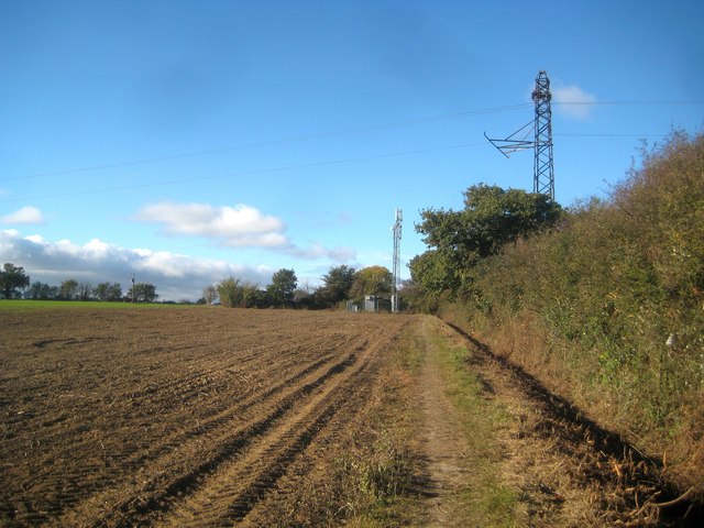
Image: © Nigel Cox Taken: 27 Oct 2018
Old Victorian large scale Ordnance Survey maps show that this path existed long before the residential development of Holland-on-Sea commenced. The distant mobile phone mast is at the back of the farm.
Images are licensed for reuse under creativecommons.org/licenses/by-sa/2.0
Image Location
Latitude
51.809321
Longitude
1.183021