The Rockingham Arms, Towton
Introduction
The photograph on this page of The Rockingham Arms, Towton by Chris Heaton as part of the Geograph project.
The Geograph project started in 2005 with the aim of publishing, organising and preserving representative images for every square kilometre of Great Britain, Ireland and the Isle of Man.

There are currently over 7.5m images from over 14,400 individuals and you can help contribute to the project by visiting https://www.geograph.org.uk
The Rockingham Arms, Towton
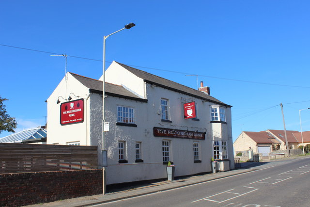
Image: © Chris Heaton Taken: 24 Oct 2018
Located on the A162 between Tadcaster and Sherburn-in-Elmet, in the little village which lends its name to the bloodiest battle in English History - fought on Palm Sunday in 1461
Images are licensed for reuse under creativecommons.org/licenses/by-sa/2.0
Image Location
Latitude
53.850378
Longitude
-1.264242