Canal bridge at Rachels Lock
Introduction
The photograph on this page of Canal bridge at Rachels Lock by M J Roscoe as part of the Geograph project.
The Geograph project started in 2005 with the aim of publishing, organising and preserving representative images for every square kilometre of Great Britain, Ireland and the Isle of Man.

There are currently over 7.5m images from over 14,400 individuals and you can help contribute to the project by visiting https://www.geograph.org.uk
Canal bridge at Rachels Lock
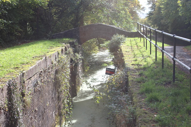
Image: © M J Roscoe Taken: 23 Oct 2018
Grade II listed bridge at the derelict lock below Hollybush Way. The sign in the water appears to indicate that the lock has been sold!
Images are licensed for reuse under creativecommons.org/licenses/by-sa/2.0
Image Location
Latitude
51.634117
Longitude
-3.025237