Top of Pudding Chare, Newcastle
Introduction
The photograph on this page of Top of Pudding Chare, Newcastle by Robert Graham as part of the Geograph project.
The Geograph project started in 2005 with the aim of publishing, organising and preserving representative images for every square kilometre of Great Britain, Ireland and the Isle of Man.

There are currently over 7.5m images from over 14,400 individuals and you can help contribute to the project by visiting https://www.geograph.org.uk
Top of Pudding Chare, Newcastle
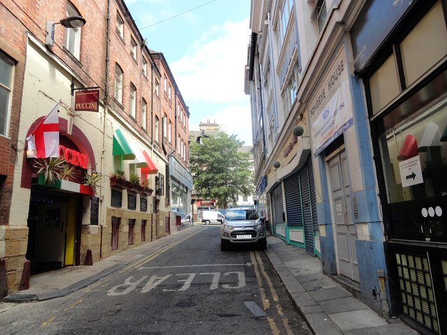
Image: © Robert Graham Taken: 4 Jul 2018
This back lane leads from the Bigg Market, which can be seen at the top of the street here. The other end connects with Westgate Road. It dates back to medieval times and probably means a muddy winding lane.
Images are licensed for reuse under creativecommons.org/licenses/by-sa/2.0
Image Location


Leaflet Map data © OpenStreetMap
Latitude
54.970996
Longitude
-1.613975