Wellmeadow, Blairgowrie
Introduction
The photograph on this page of Wellmeadow, Blairgowrie by Trevor Littlewood as part of the Geograph project.
The Geograph project started in 2005 with the aim of publishing, organising and preserving representative images for every square kilometre of Great Britain, Ireland and the Isle of Man.

There are currently over 7.5m images from over 14,400 individuals and you can help contribute to the project by visiting https://www.geograph.org.uk
Wellmeadow, Blairgowrie
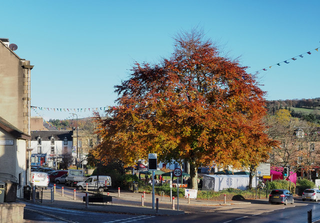
Image: © Trevor Littlewood Taken: 27 Oct 2018
According to the 'Discover Blairgowrie' website, "The Wellmeadow was so named as it was used as a watering hole for cattle". It's a public space at the centre of the town, grassed with flowerbeds, and the location of the war memorial.
Images are licensed for reuse under creativecommons.org/licenses/by-sa/2.0
Image Location
Latitude
56.591421
Longitude
-3.337184