New housing development on Lower Canal Road - August, 2017
Introduction
The photograph on this page of New housing development on Lower Canal Road - August, 2017 by Penny Mayes as part of the Geograph project.
The Geograph project started in 2005 with the aim of publishing, organising and preserving representative images for every square kilometre of Great Britain, Ireland and the Isle of Man.

There are currently over 7.5m images from over 14,400 individuals and you can help contribute to the project by visiting https://www.geograph.org.uk
New housing development on Lower Canal Road - August, 2017
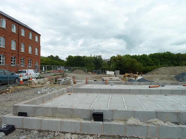
Image: © Penny Mayes Taken: 12 Aug 2017
On the site of Commercial (or Kymric) tweed mill which closed in 1935. It was used by the Ministry of Supply as a food depot during WWII and, more recently was the site of the Price & Orphin engineering works where they manufactured parts for aircraft and racing-cars. The site was cleared more than 10 years ago. The trees in the background are on the far side of the river.
Images are licensed for reuse under creativecommons.org/licenses/by-sa/2.0
Image Location
Latitude
52.517953
Longitude
-3.30537