B5071 at the southern edge of Crewe
Introduction
The photograph on this page of B5071 at the southern edge of Crewe by Jaggery as part of the Geograph project.
The Geograph project started in 2005 with the aim of publishing, organising and preserving representative images for every square kilometre of Great Britain, Ireland and the Isle of Man.

There are currently over 7.5m images from over 14,400 individuals and you can help contribute to the project by visiting https://www.geograph.org.uk
B5071 at the southern edge of Crewe
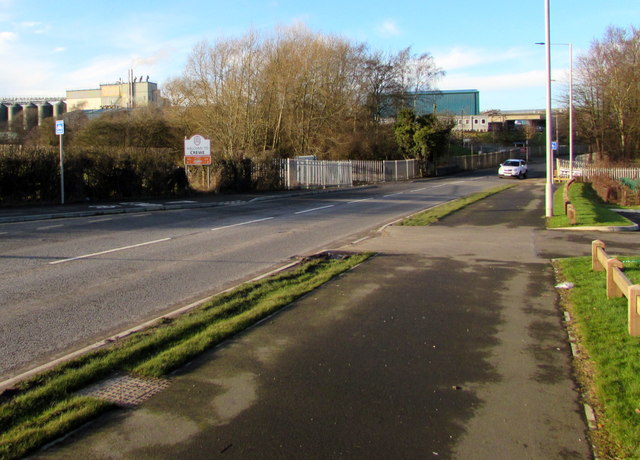
Image: © Jaggery Taken: 4 Feb 2017
The B5071 Gresty Road passes the Welcome to Crewe sign https://www.geograph.org.uk/photo/5954172 on the left.
Images are licensed for reuse under creativecommons.org/licenses/by-sa/2.0
Image Location


Leaflet Map data © OpenStreetMap
Latitude
53.078831
Longitude
-2.434353