Tavistock Canal
Introduction
The photograph on this page of Tavistock Canal by Derek Harper as part of the Geograph project.
The Geograph project started in 2005 with the aim of publishing, organising and preserving representative images for every square kilometre of Great Britain, Ireland and the Isle of Man.

There are currently over 7.5m images from over 14,400 individuals and you can help contribute to the project by visiting https://www.geograph.org.uk
Tavistock Canal
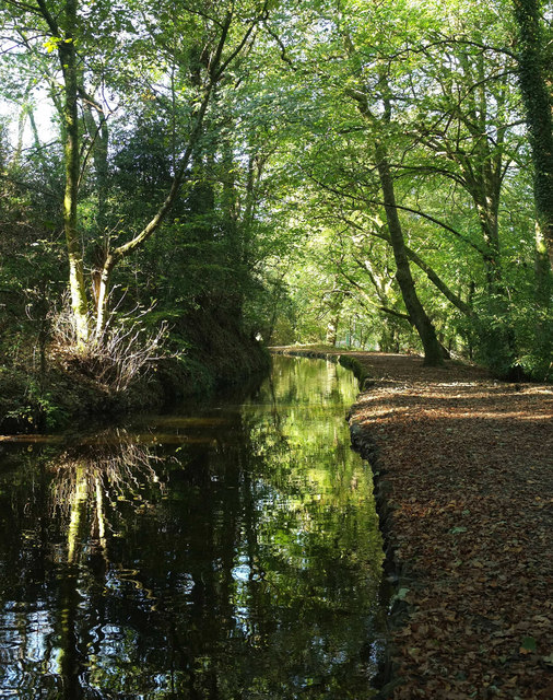
Image: © Derek Harper Taken: 20 Oct 2018
Sunlight picks out a tree on the opposite bank. Drake's Walk follows Tavistock footpath 61 along the towpath on this side.
Images are licensed for reuse under creativecommons.org/licenses/by-sa/2.0
Image Location


Leaflet Map data © OpenStreetMap
Latitude
50.539871
Longitude
-4.154753