The Villa, Madeley
Introduction
The photograph on this page of The Villa, Madeley by Richard Law as part of the Geograph project.
The Geograph project started in 2005 with the aim of publishing, organising and preserving representative images for every square kilometre of Great Britain, Ireland and the Isle of Man.

There are currently over 7.5m images from over 14,400 individuals and you can help contribute to the project by visiting https://www.geograph.org.uk
The Villa, Madeley
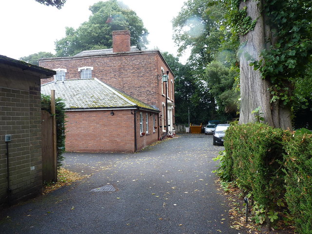
Image: © Richard Law Taken: 8 Sep 2018
Hidden away to the north of the High Street, and quite securely fenced off as it's a nursing/care home now, The Villa is originally an early 19th century town house, which was Grade II listed https://britishlistedbuildings.co.uk/101208793-the-villa-madeley#.W9LpCdQrLGg in 1983.
Images are licensed for reuse under creativecommons.org/licenses/by-sa/2.0
Image Location
Latitude
52.637023
Longitude
-2.452275